Combine
Bring relevant terrain and operational layers into a coherent spatial picture.
 SPATIAL
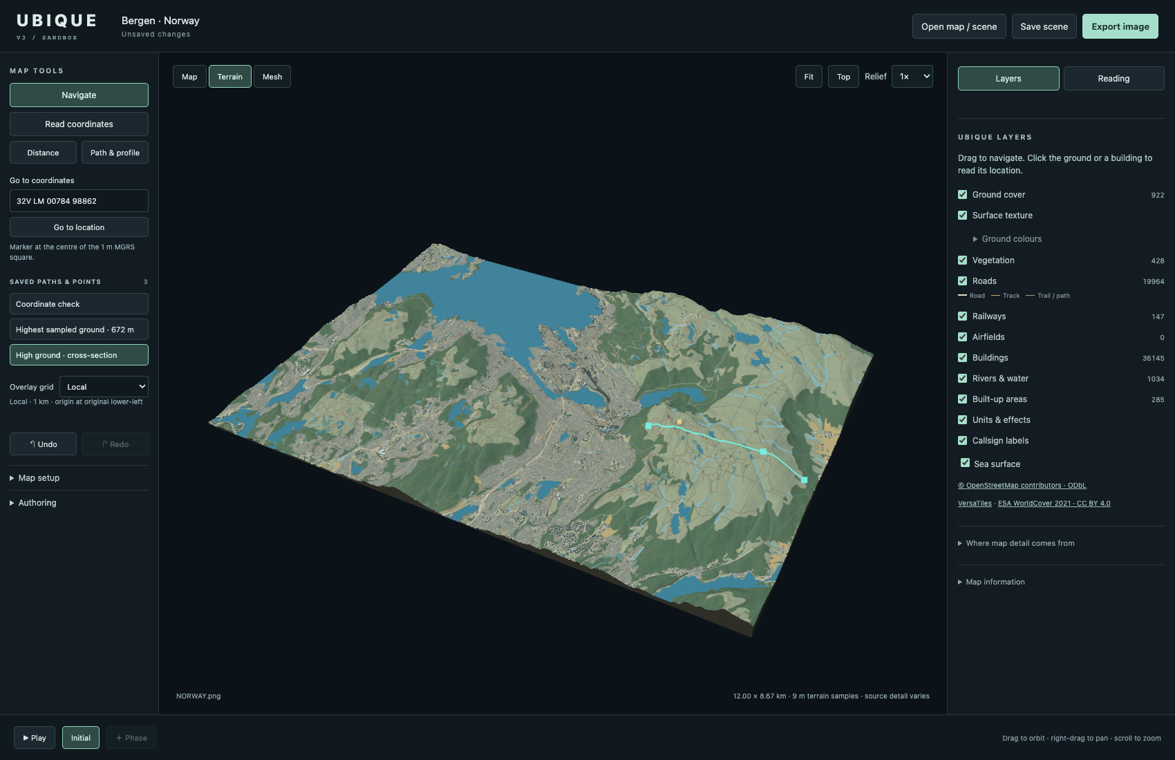
Ubique Spatial turns complex terrain and environmental information into an interactive operational picture—built to support planning, analysis and training.
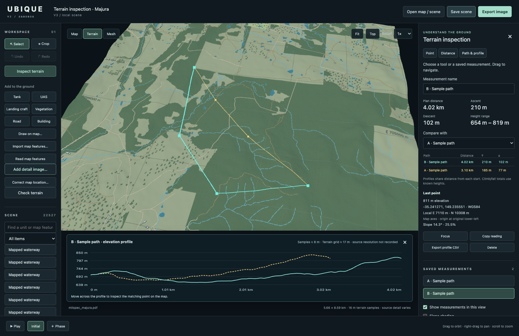
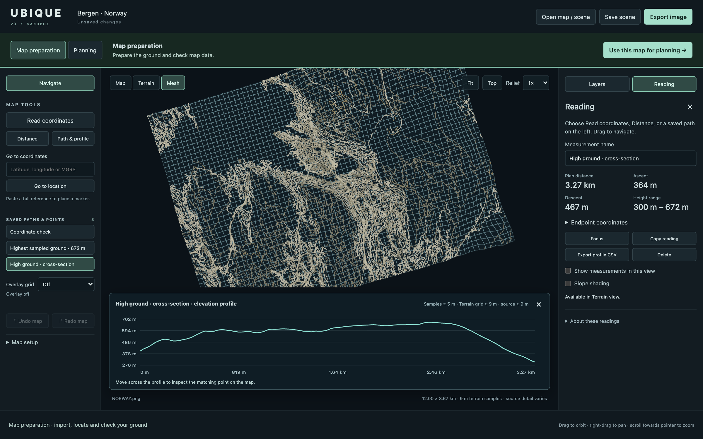
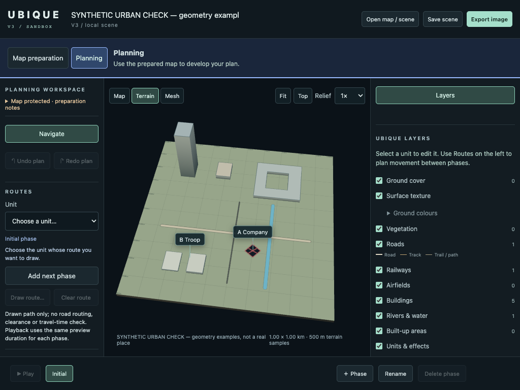
Ubique Spatial is being developed as a flexible visual analysis environment—bringing terrain, infrastructure and scenario information together in one clear interface.
Bring relevant terrain and operational layers into a coherent spatial picture.
Explore visibility, access, exposure and relationships across complex ground.
Turn technical analysis into an intuitive view for planning, training and briefing.
Support planning and communication around movement, observation, access and exposure.
Create shared context for terrain-led exercises, discussion and decision-making.
Help teams understand affected ground, plan activity and communicate spatial risk.
Apply spatial analysis to rapidly changing conditions across civilian environments.
Veteran-owned and founded by a former Australian Army Engineer Officer, Ubique Spatial combines military engineering experience with a practical understanding of how terrain shapes decisions. The prototype is now moving toward its next stage of development from Norway.
We are looking for selected development, integration and domain partners who can help test, refine and bring the concept into real operational settings.
Ubique Spatial is open to conversations with aligned technology and domain partners.
info@ubiquespatial.com